Mapping the Quassaick: our watershed profile takes shape
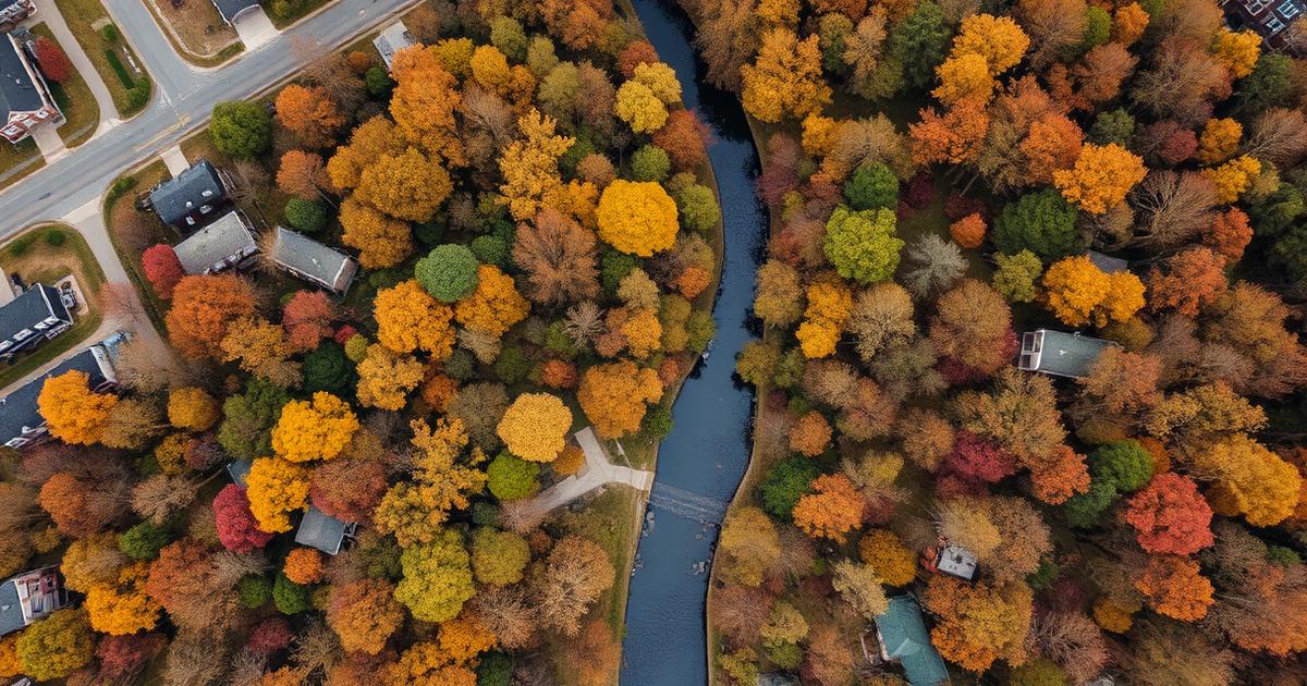
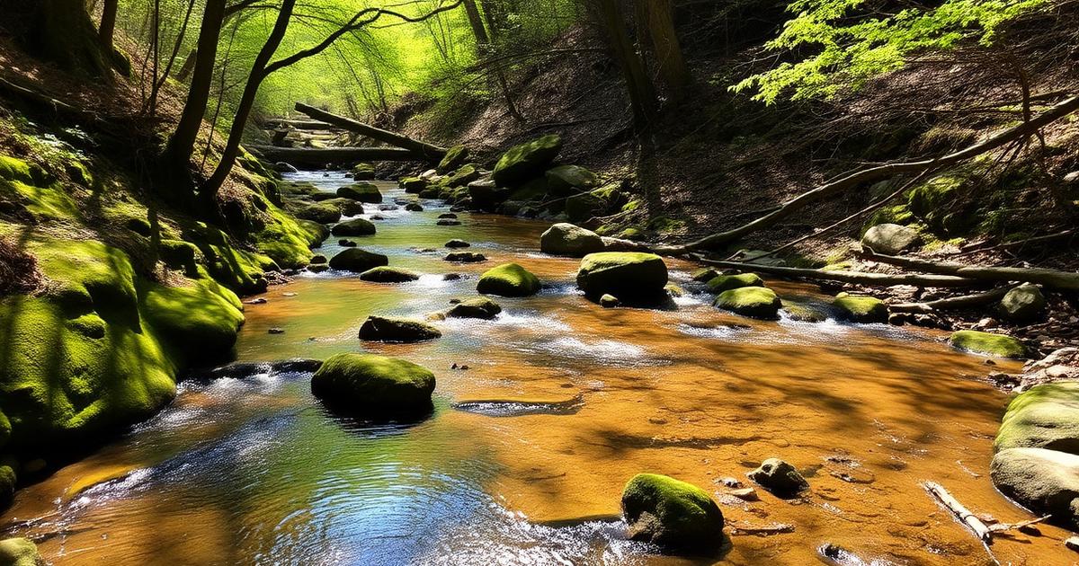
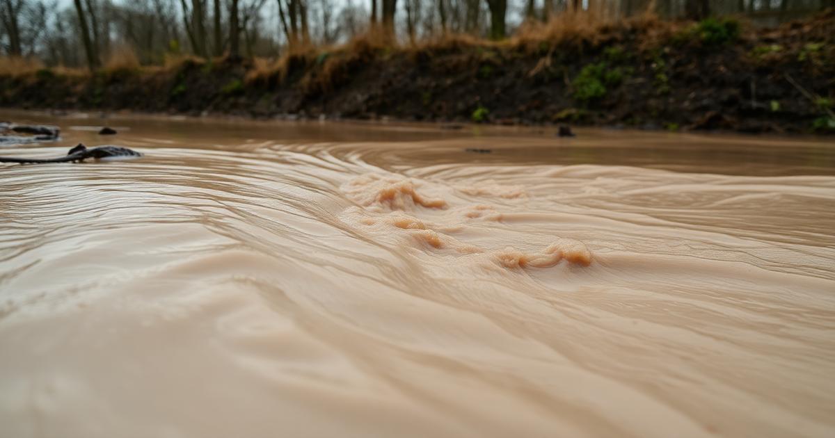
For most of its length, the Quassaick Creek runs through a landscape nobody has ever mapped as a system. Individual site plans reference it. State SPDES permits regulate specific outfalls into it. But there is no single, up-to-date document that a Newburgh or New Windsor planning board can pick up and use to weigh what a new proposal will do to the creek as a whole.
Orange Environment is building that document.
Over the past several months, OE and a growing group of volunteer watershed stewards have been working on three parallel workstreams:
Outfall inventory. Walking accessible reaches of the mainstem and its major tributaries, GPS-tagging every stormwater outfall, culvert, and pipe we can identify — noting pipe material, apparent flow, staining, and any obvious dry-weather discharge. Dry-weather flow from a stormwater outfall is almost always a problem worth reporting.
Land-cover and impervious-surface analysis. Using publicly available parcel data, aerial imagery, and NYSDEC datasets, we're quantifying how much of each sub-basin is now impervious, how much remains in forest, and where the largest recent land-cover changes have occurred. The goal is a simple set of maps that a lay planning-board member can read in one sitting.
Approvals watch. Tracking pending site-plan, subdivision, and zoning applications in every municipality that touches the watershed, and flagging the ones with the largest potential impact on flow, sediment, or riparian buffer.
What this becomes. The three workstreams are the backbone of the Quassaick Creek watershed profile we intend to publish later this year — a document written for planning boards, town councils, and residents, not for a state agency's file cabinet. It will identify priority restoration reaches, model buffer language municipalities can adopt, and a short list of cumulative-impact metrics we're asking boards to weigh at approval time.
If you live in the watershed and want to help — walking a reach, contributing storm-event photos, or reviewing draft maps for local knowledge we may have missed — we would very much like to hear from you.