A Hudson Valley biodiversity guide: how to read the place you live
Read the full companion resource: the Hudson Valley Pollinator Project's biodiversity guide at https://hvpollinators.org/ — a deep-dive reference we recommend alongside this post.
Biodiversity in the Hudson Valley starts with a simple idea: the lines that matter are the ones the land already drew. Watersheds, ridgelines, forest types, and pollinator ranges do not stop at county lines or zip codes. When you organize your attention around those natural boundaries instead of the political ones, most environmental decisions get easier — where your water comes from, which plants belong in your yard, which town-board meeting actually affects your creek.
What a bioregion is (and is not). A bioregion is a coherent ecological area defined by shared watersheds, climate, geology, and native species assemblages. The Hudson Valley sits inside the Hudson River bioregion, bounded roughly by the Catskills to the west, the Taconic and Berkshire hills to the east, the Mohawk confluence to the north, and New York Harbor to the south. It is not a marketing region and not a tourism district. It is the drainage that feeds the estuary you live next to.
Step 1: Learn your watershed. Every drop of rain that falls on your roof leaves the property through a specific sub-watershed on its way to the Hudson. In Orange County that is usually the Quassaick, the Moodna, the Ramapo, or the Wallkill. Look up your address in the EPA's How's My Waterway tool, write the sub-watershed name on a sticky note, and put it on the fridge. From that day forward, every stormwater, sewer, and development story in the local paper either affects your creek or it does not. You will read the news differently within a week.
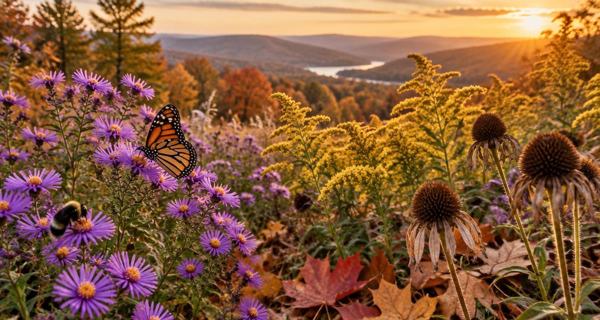
Step 2: Know your keystone plants. A bioregion is held together by a short list of keystone native species that support the majority of local insect and bird life. In the Hudson Valley the load-bearing plants are oaks, native willows, black cherry, goldenrod, asters, and milkweeds. If your yard has three of those, you are already doing bioregional work. If it has none, that is the highest-leverage change you can make this season — start with one oak seedling and a patch of common milkweed. Our native plants field guide lists the full keystone set with nursery sources.
Step 3: Follow the pollinator corridor. Monarchs, native bees, and migratory songbirds do not care whose lawn they are crossing. They need a contiguous ribbon of habitat from the Shawangunks down to the estuary. The Hudson Valley Pollinator Project is stitching that ribbon together yard by yard. Converting even a 10-by-10-foot strip of turf into native meadow adds a real link to the corridor and is the single most measurable bioregional act available to a homeowner.
Step 4: Show up where the bioregion is decided. Bioregional politics is boring on purpose — it happens at planning boards, sewer commissions, and county legislature committees. Those are the rooms where a warehouse gets approved next to your sub-watershed, or a stormwater ordinance gets weakened, or a native-plant requirement gets written into a subdivision plan. Pick one board that touches your watershed and put its meeting dates on your calendar for the year. You do not need to speak. Showing up changes the room.
Step 5: Buy and eat inside the bioregion. A bioregional pantry is not a purity test. It is a habit: default to the Hudson Valley farm share, the local orchard, the mushroom grower two towns over. Money spent inside the bioregion funds the working landscapes — orchards, hayfields, cheese caves — that keep the place from being paved. If you shift 20 percent of your food spending this way, you have done more for open space than most donations.
Step 6: Learn the seasons the way the land tells them. Phenology — the timing of bloom, migration, and leaf-out — is how a bioregion tells you what to do next. In the Hudson Valley the serviceberry bloom in April signals the first native pollinator emergence. Milkweed leaf-out in May is the monarch clock. Goldenrod peak in September is the last big nectar meal before frost. Track three phenology signals for one year and you will know your bioregion better than any map can teach you.
Where to go from here. Bioregionalism is not a weekend project. It is a way of orienting your attention that compounds over years. If you want the shortest on-ramp, do three things this month: identify your sub-watershed, plant one keystone native, and put one local planning-board meeting on your calendar. Everything else — the pollinator corridor, the food system, the phenology — grows out of those three habits.
Orange Environment's field guides, issue pages, and workshops are all designed as bioregional tools. Use them — and pair them with the full biodiversity guide at https://hvpollinators.org/.